
1/2
Swipe or click to see more
COURTESY USGS
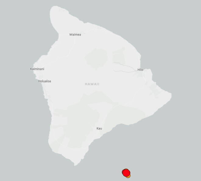
A magnitude 5.2 quake struck off the southeast coast of Hawaii island this evening.
2/2
Swipe or click to see more
COURTESY USGS
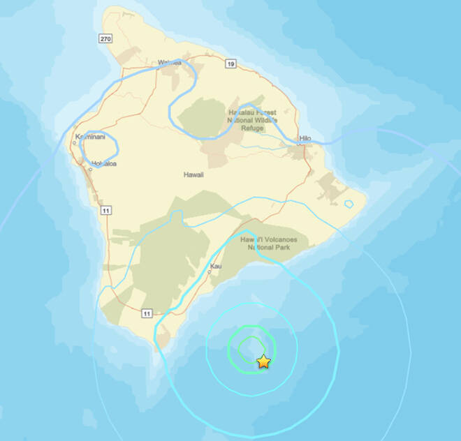
This U.S. Geological Survey map shows the location of a magnitude 5.2 quake off Hawaii island this evening.
A magnitude 5.2 earthquake struck this evening off the southeast coast of Hawaii island but did not generate a tsunami, officials said.
The quake, which hit at about 5:48 p.m., was centered about 26 miles east-southeast of Naalehu and 59 miles south-southeast of Hilo at a depth of about 7 miles below sea level, according to the U.S. Geological Survey.
The Pacific Tsunami Warning Center on Oahu said the quake along the Loihi seamount did not generate a tsunami but “some areas may have experienced strong shaking.”
The USGS’ “Did you feel it?” self-reported, online survey for the earthquake garnered dozens of responses less than an hour after the quake, nearly all from throughout Hawaii island.
Scientists with the Hawaiian Volcano Observatory said in a written statement that the temblor was “part of an ongoing sequence of earthquakes associated with unrest of Kama’ehuakanaloa (formerly Loihi) Seamount that started on Sunday.” The quakes have no apparent impact on Mauna Loa or Kilauea volcanoes, they added.